Seeing Formosa: Discover 17th and 18th century Taiwan by Reading Historical Texts, Maps, and Paintings
In this course, we’re going to explore 17th and 18th century Taiwan by reding historical documents. We will read not only texts, but also maps and paintings from that period. 2 of the most important collections from National Taiwan Library are here to help us take a closer look at Taiwan’s geography and human activities over the 2 centuries. They are Taiwan Aboriginal Map and Liu Shi Qi’s Two Panorama prints of Taiwan.
There will be 11 lectures, divided into 3 different but interrelated course units:
In unit 1, which is Seeing Taiwan, Writing Taiwan, we’re going to read 2 texts from 17th century and journey into the Age of Discovery to see how Taiwan was discovered by the western world and the imperial China. We will see how much Taiwan had been changed over a hundred years.
In unit 2, which is titled Taiwan’s Geography in 17th and 18th Century, we’re going to study Taiwan Aboriginal Map and talk about the geographical concepts the imperial cartographers had in mind and the way they arranged spaces on a map so that we can see how imperial China viewed Taiwan. By reading the map, we can also travel into 17th and 18th century and visit ancient Tainan City for its geographic and historic sites and see how far the city has gone through since then.
In unit 3, which is titled Human Activities in 18th Century Taiwan, we’re going to study Liu Shi Qi’s Two Panorama prints of Taiwan. Paintings in this document have been divided into 2 categories, ones that depict customs and others that depict creatures. By reading the paintings closely, we will see how society and economy worked in 18th century Taiwan and what flowers, vegetables, and animals people in that period were familiar with.


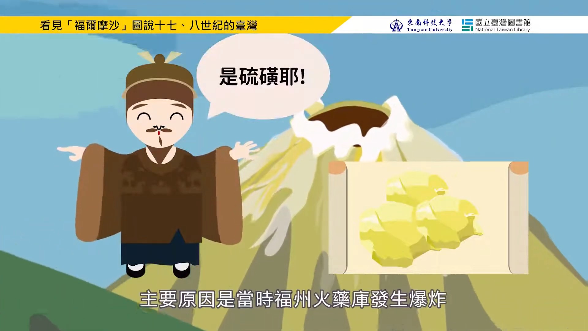 Yu Yonghe's (郁永河) Taiwan Travel Diaries
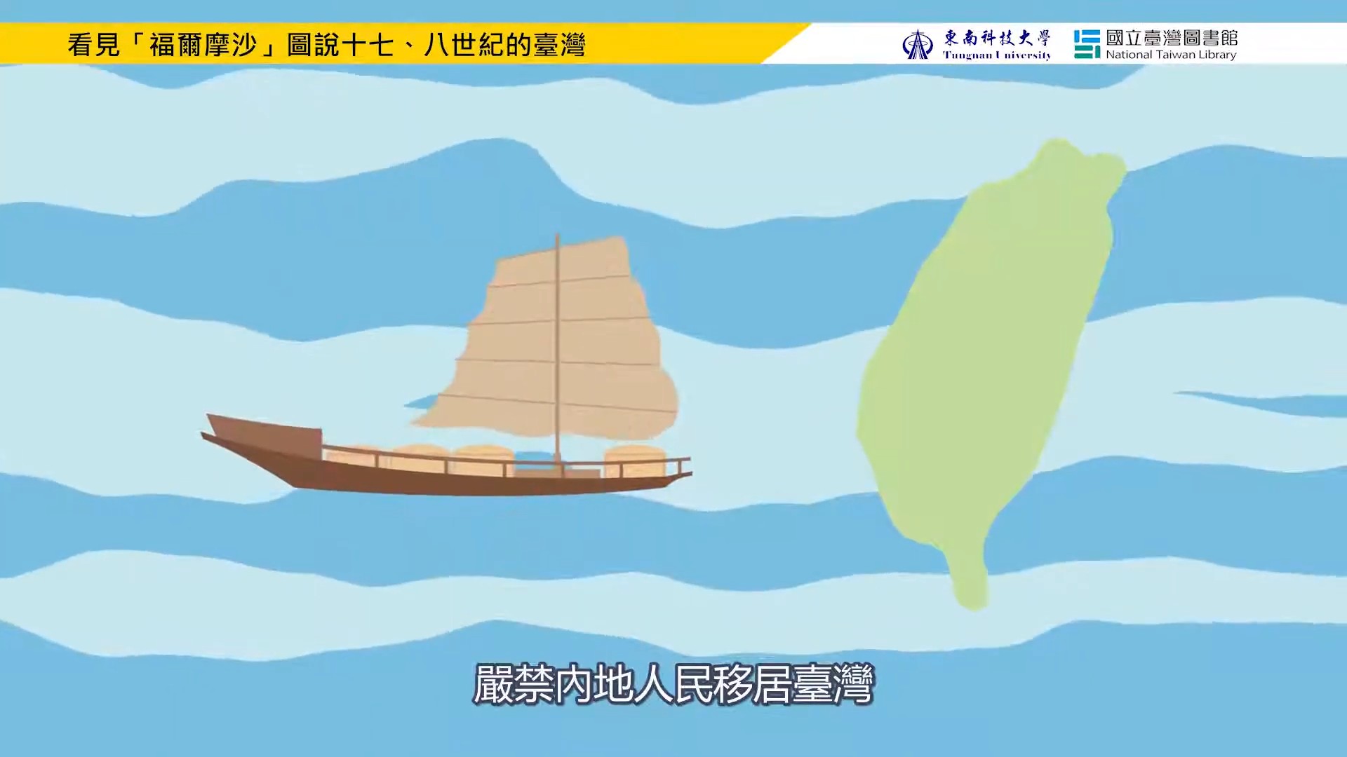
 Seeing Taiwan, Writing Taiwan
 Society of 17th century Taiwan (Part 1 of 2)
 Society of 17th century Taiwan (Part 2 of 2)
 Tainan City in Taiwan Aboriginal Map
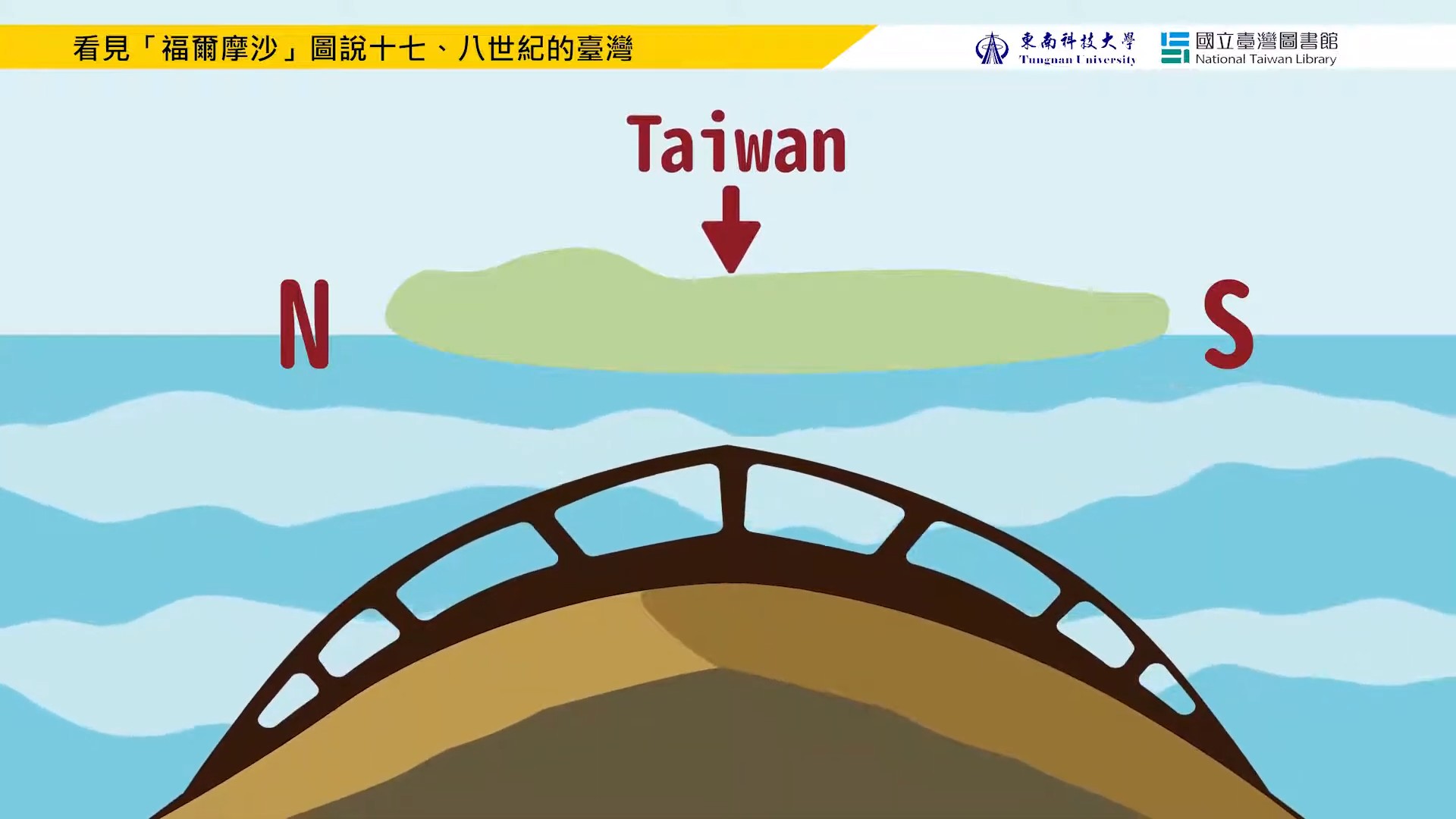 The Way Spaces Were Mapped in Taiwan Aboriginal Map
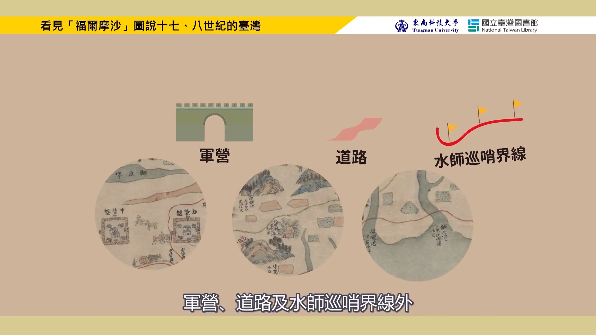 The Style of Taiwan Aboriginal Map: Images, Symbols, and Techniques
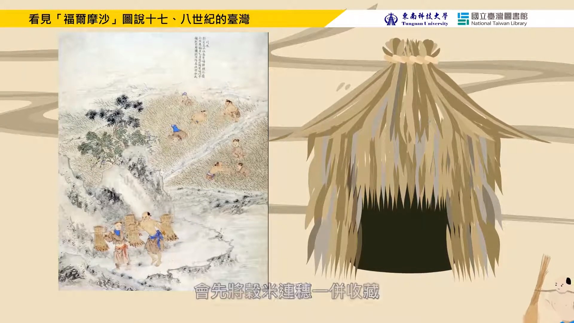 Liu Shi Qi’s Two Panorama prints of Taiwan: Daily Lives (part 1 of 2)
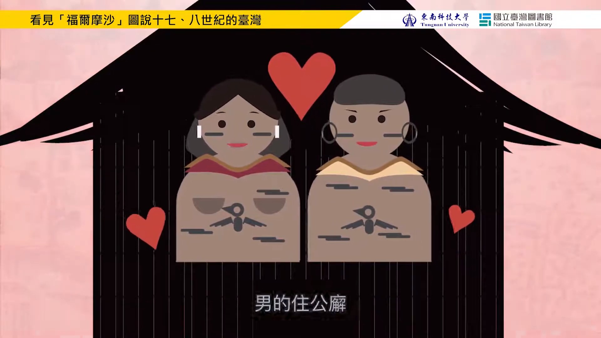 Liu Shi Qi’s Two Panorama Prints of Taiwan: Customs (part 2 of 2)
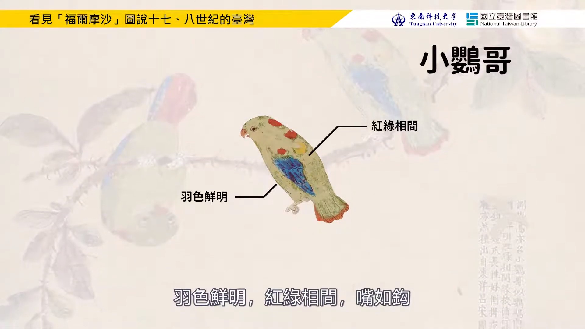 Liu Shi Qi’s Two Panorama Prints of Taiwan: Creatures (part 1 of 2)
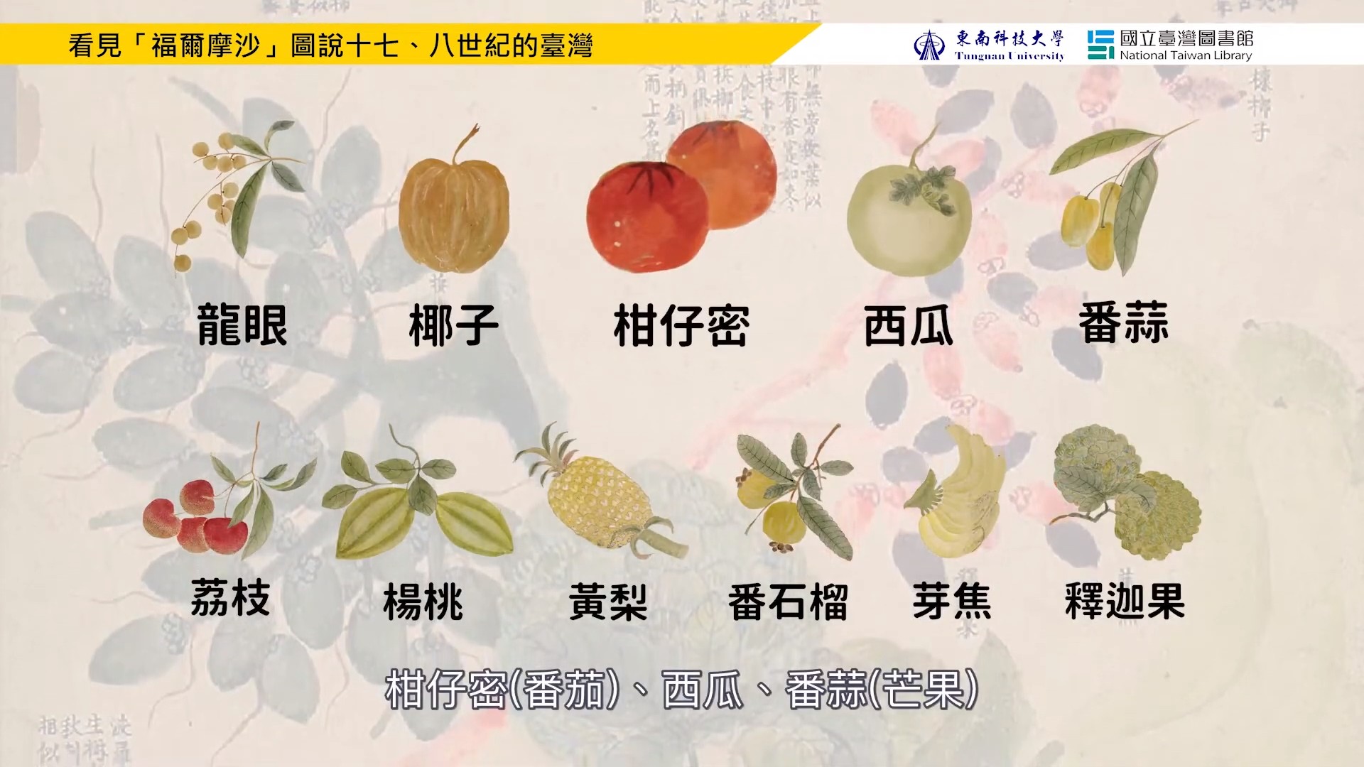 Liu Shi Qi’s Two Panorama Prints of Taiwan: Creatures (part 2 of 2)